Research Team Discovers Lost Nile River Branch
University of North Carolina WilmingtonFindings may explain location of largest Egyptian pyramid field
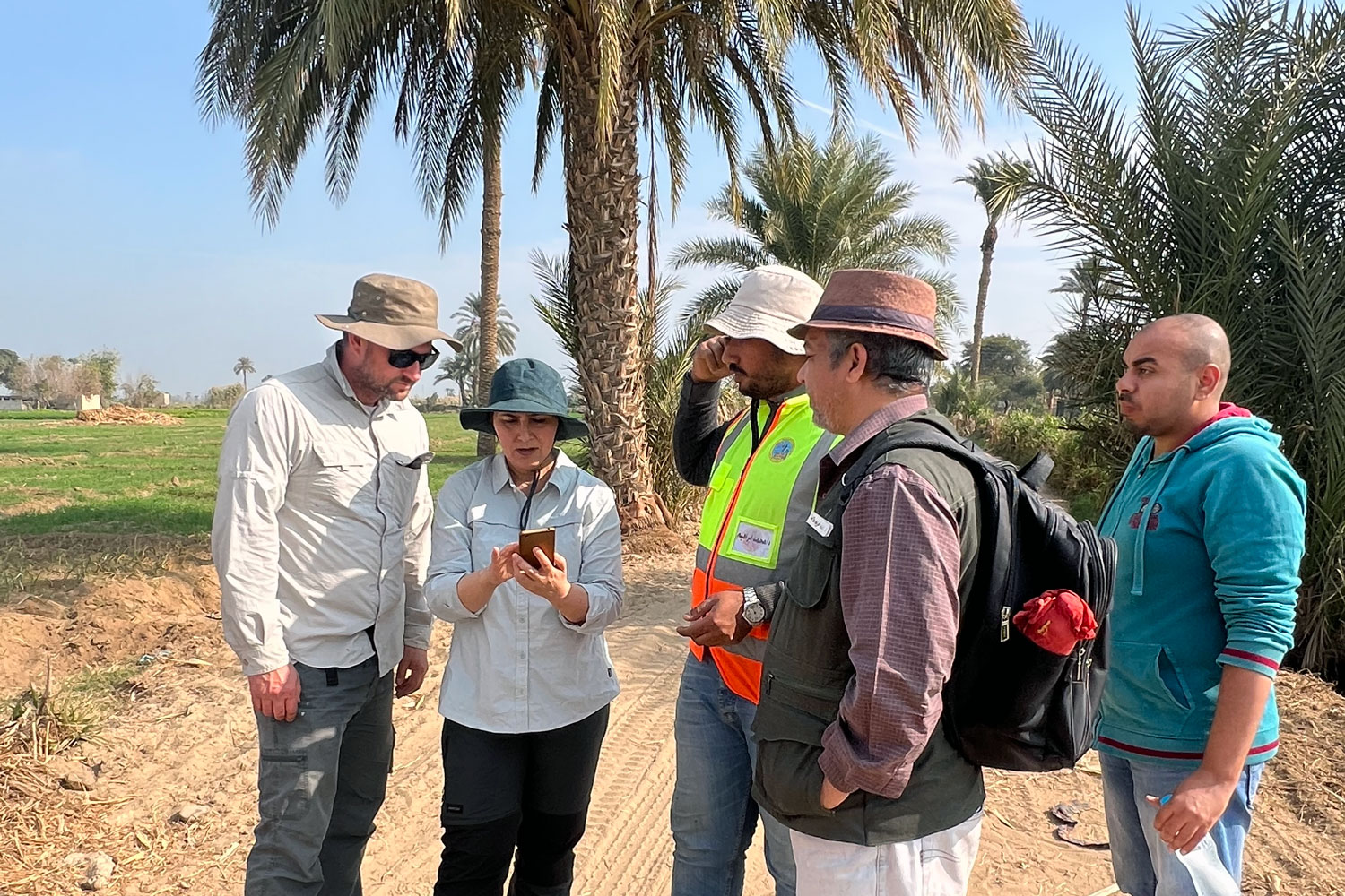
Findings may explain location of largest Egyptian pyramid field

The novel Multiple Integer Candidates Ambiguity Resolution (MICAR) algorithm harmonizes Full Ambiguity Resolution (FAR) and Partial Ambiguity Resolution (PAR) under the Best Integer Equivariant (BIE) estimator, promising a transformative impact on navigation and positioning systems.

An international team of researchers led by the University of Bristol has shed light on Earth’s earliest ecosystem, showing that within a few hundred million years of planetary formation, life on Earth was already flourishing.

A pioneering study has completed a detailed mapping of 280 million buildings in East Asia, a region grappling with urbanization challenges. This mapping, the most extensive to date, utilizes very high-resolution (VHR) imagery to create a precise and comprehensive dataset.

Ammonites were not in decline before their extinction, scientists have found.

A new study investigates how the influence of low gravity, as found on ocean worlds in our solar system, impacts flows of water and heat below their seafloors.

Researchers have developed a method for detecting and analysing microfossils automatically from microscope images using AI. Microfossil analysis is important both for industry and research to gain an understanding of the subsurface, and to understand the past geological time period and the past climate.
Join this virtual Q&A with Carl P. Lipo, PhD, Binghamton University, to discuss the upcoming embargoed paper about Easter Island agricultural and anthropology research.
After a devastating childhood earthquake in the Gujarat region of her home country of India, Jyoti Sharma often thought about creating an early earthquake warning system.

New research led by University of Utah geochemist Chadlin Ostrander uses thallium isotopes to track the rise and fall of free oxygen on Earth 2.5 billion years ago, the process that enabled life as we know it

In Review of Scientific Instruments, researchers from the University at Buffalo develop a tool for measuring the viscosity of lava that could increase our understanding of molten rock as well as better improve models of its movement, giving authorities crucial guidance for keeping people safe.

A new study has uncovered the potential of Global Navigation Satellite System-Reflectometry (GNSS-R) for monitoring Earth’s surface changes with unprecedented precision. The research delves into the use of GNSS-R for detecting Earth's surface characteristics, offering a game-changing approach for environmental monitoring and target detection.

The Earth Dynamics Geodetic Explorer (EDGE)—a newly proposed NASA satellite mission to monitor the three-dimensional structure of global vegetation and ice—is one of four finalists selected for NASA’s next generation of Earth-observing satellites under the Earth System Explorers Program.

A large fossil discovery has helped shed light on the history of dinosaurs in Wales.
Off the north coast of Alaska in the Beaufort Sea, the Sun won’t make its appearance until roughly nine in the morning, its edge arcing over the horizon where a spill of puffy clouds briefly hides its emerging face.

A team of geologists led by the University of Utah analyzed 3,500 samples taken in and around coal mines in Utah and Colorado. Their findings open the possibility that these mines could see a secondary resource stream in the form of rare earth metals used in renewable energy and numerous other high-tech applications.

A team of glaciologists led by researchers at the University of California, Irvine used high-resolution satellite radar data to find evidence of the intrusion of warm, high-pressure seawater many kilometers beneath the grounded ice of West Antarctica’s Thwaites Glacier.
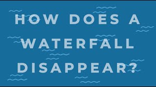
Matt and Brandon traveled to Ecuador's rainforests to map the Coca River with drones. The river is experiencing massive erosion and sedimentation problems after the San Rafael waterfall collapsed in 2020. Their work could help the country save a hydroelectric power plant that provides 30% of the country's electricity as well as roads and pipelines the area's people depend on for commerce and transportation.

Innovative Global Navigation Satellite System (GNSS) positioning technologies harness massive vehicle-generated data to create high-resolution atmospheric delay correction maps, significantly enhancing Global Positioning System (GPS) accuracy across varied spatial scales. This new method exploits real-time, crowd-sourced vehicle GNSS raw data, refining traditional GPS applications and presenting a cost-effective solution for precise positioning.

China's Earth Observation (EO) System has seen significant progress, evolving into a sophisticated network of satellites supporting various global applications. This system, vital for sustainable development, promises further advancements with new technologies enhancing its capabilities.